
Engineering & survey
Every design is only as good as the field data underneath it. We walk the route, measure what is actually on the poles, and hand your engineer a package they can draw from without going back out.
Capability
What we collect in the field
This is the work that happens before anybody places cable: walking the route, recording what is there, and turning it into something a designer or a permitting authority can use.
Route survey & walkout
- Full route walkout with GPS-tagged photographs at every structure
- Pole data — height, class, existing attachments and their heights, guying, condition
- Midspan and ground clearances measured, not estimated from a desk
- Existing plant identification — whose cable is on the pole, and at what height
- Underground route survey — vault and handhole locations, condition, available duct
- Obstruction and constructability notes — the things that turn into change orders
Make-ready field data
- Attachment height measurements for the proposed attachment
- Clearance violations flagged against NESC separation requirements
- Make-ready scope identification — what has to move, and roughly what that involves
- Photo documentation per pole for the attachment application
Design deliverables
- Route maps and strand charts
- Splice diagrams and fiber assignment
- Bills of material built from the actual field count
- As-builts and redlines after construction, matching what is physically in the ground
Being precise about this
Where we stop, and who takes it from there
This is worth stating plainly, because it is the question every general contractor asks third and most websites never answer.
We do the field work. Survey, walkout, measurement, photo documentation, make-ready data collection, bills of material, splice diagrams and as-builts. That is in-house, done by the same people who build the plant — which is precisely why the constructability notes are worth something.
We do not produce stamped drawings in-house. Pole loading analysis, sealed construction drawings and anything requiring a Professional Engineer's seal go to a licensed PE we partner with. That is a normal arrangement in this trade, and we would rather tell you now than have you discover it when the permit office asks for a seal.
So if your scope needs stamped drawings, the answer is yes — we can deliver that package, with the engineering seal coming from our PE partner and the field data coming from us. If your scope only needs the survey and the make-ready data because you have your own engineering department, that is often the cleaner arrangement and we are happy to work that way.
Either way you will know exactly which part is ours before you sign anything.
Process
From a line on a map to a buildable package
-
Scope the route
What you want to connect, and roughly how. We identify the candidate routes and the obvious constraints before anyone walks.
-
Walk it
Pole by pole, structure by structure, with measurements and GPS-tagged photographs. This is the part nobody can do from an office.
-
Package the data
Field data, make-ready findings, constructability notes and a bill of material, in your template or ours.
-
Seal if required
Where stamped drawings are needed, the package goes to our PE partner for analysis and seal, and comes back to you complete.
In the field
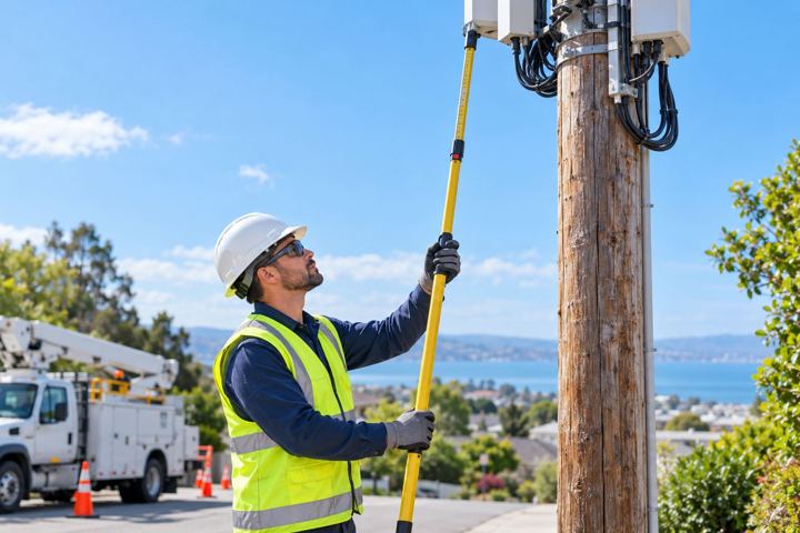
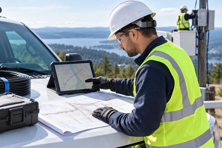
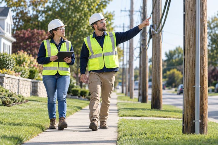
What this work looks like
Frequently asked questions
Can you produce stamped construction drawings?
Through our PE partner, yes — the field data and the package are ours, the seal comes from a licensed Professional Engineer. We do not have a PE on staff and will not imply otherwise. If your permitting authority requires a seal, tell us at quote stage and it gets priced as its own line.
Do you do pole loading analysis?
We collect the field data it requires — pole height, class, existing attachments, guying and condition. The loading calculation itself is performed by our PE partner, because it carries an engineering liability that belongs with a licensed engineer.
Can we use your survey with our own engineering firm?
Yes, and it is a common arrangement. We hand over the field package in your template and your engineer draws from it. Several GCs prefer this because their design team already knows their standards — we are just the people willing to walk five miles of pole line in February.
What makes your survey different from a desktop study?
Someone actually goes and looks. Desktop route studies from aerial imagery miss the attachment that is six inches out of clearance, the pole that is leaning, the vault that is full, and the driveway that has been paved since the imagery was taken. Those are exactly the items that become change orders.
Do you survey underground routes too?
Yes — vault and handhole locations and condition, available duct space, proofing where access allows, and the same constructability notes. See aerial and underground construction for the build side.

Send us the scope. We will send back a number.
Drawings, a footage count or a rough description — whatever you have. We will tell you what we can self-perform, what it costs and when we can mobilise.